
2GIS
2GIS screenshots (23)


Description 2GIS
Offline Navigation Reimagined: A Complete City Guide in Your Pocket
2GIS is a comprehensive mapping and navigation platform engineered for functionality without constant internet dependency. It moves beyond basic point-to-point guidance by integrating detailed offline maps, multi-modal routing, and an extensive business directory into a single, self-contained tool. This application is designed for users who require reliable, detailed urban navigation and local search capabilities, irrespective of network availability, positioning itself as a practical utility for daily commuting and city exploration.
Core Functionality and User Tools
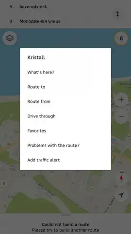
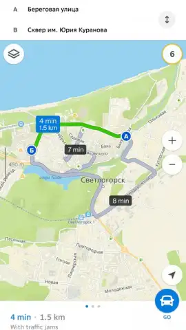
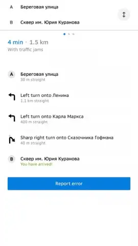
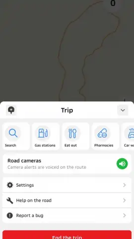
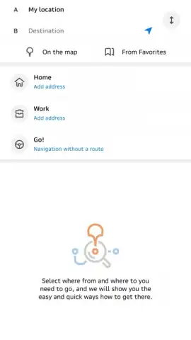
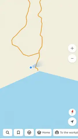
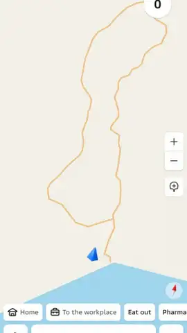
The application operates on a foundation of pre-downloaded, high-detail vector maps for entire cities and regions. Once stored on the device, these maps enable full functionality—including search, address identification, and business lookups—without an active data connection. The navigation system provides turn-by-turn voice and visual guidance for drivers, with lane assistance and speed limit notifications. For public transport, it calculates routes using buses, trams, metro, and trains, specifying departure times, transfer points, trip duration, and estimated fares based on local tariff data.
Detailed Feature Set and Operational Modes
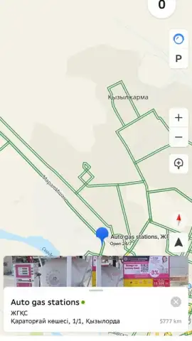
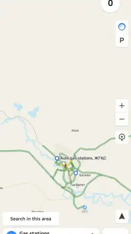
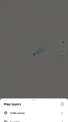
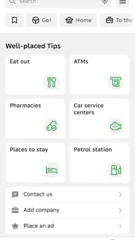
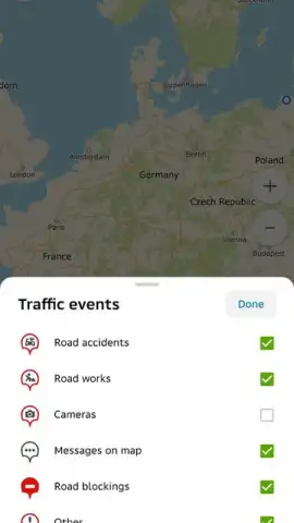
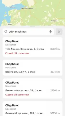
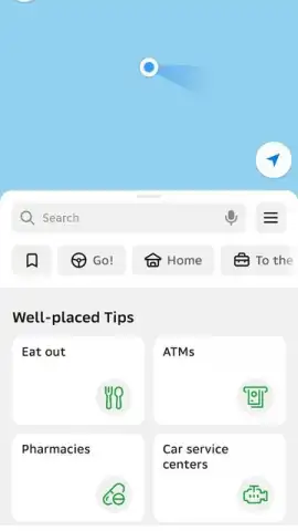
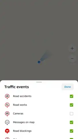
The utility of 2GIS extends into a verified business catalog containing millions of entries. Each listing provides operational data such as precise geographical coordinates, contact phone numbers, working hours, website links, and user-generated photos. A route planner allows for the insertion of intermediary points of interest—like gas stations, ATMs, or pharmacies—to optimize a journey without significant detours. The map interface itself supports layer toggling for building footprints, traffic data where available, and the locations of public service infrastructure.
- Full offline map browsing and search
- Public transport routing with schedules
- Integrated business directory with contacts
- Multi-stop trip planning capability
Installation and Access Instructions
Gain immediate access to detailed urban navigation and local search by installing the application directly to your mobile device. Exclusive early access to the latest map data updates is available for new users who download within the current release period.
Download the 2GIS mobile app now to activate full offline navigation and city guide features.
Heads up: you'll need wifi for the initial map downloads and for accessing real-time traffic data. Some advanced features within the business catalog are part of a premium subscription.


