
Google Maps
Google Maps screenshots (13)


Description Google Maps
The Definitive Tool for Modern Navigation and Discovery
Google Maps has evolved far beyond a simple digital atlas to become the operational backbone for personal travel, urban exploration, and logistical planning. Its core utility lies in synthesizing vast, real-time datasets into a coherent, interactive interface that provides not just routes, but contextual intelligence for the physical world. This analysis examines the mechanics that make it an indispensable application for both daily commutes and global adventures.
Core Functionality and In-Depth Feature Analysis
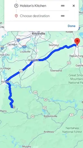
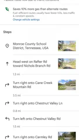
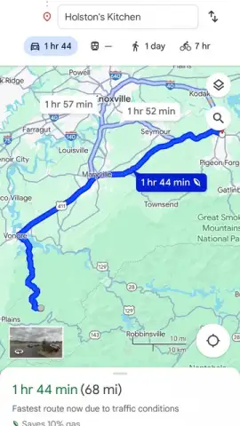
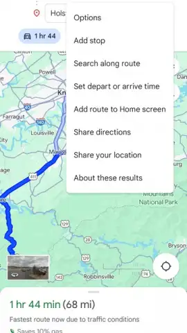
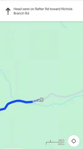
The application’s primary engine delivers multi-modal navigation with precision. You can plot a course by car, on foot, via bicycle, or using public transit systems, with the app calculating efficiency based on live traffic flow, road closures, and even typical congestion patterns for that time of day. The turn-by-turn guidance is augmented by lane assistance and real-time rerouting, which proactively suggests alternatives upon detecting slowdowns or accidents ahead. This is not a passive map but an active co-pilot.
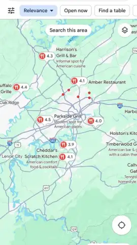
A critical component is the integrated local search and business intelligence platform. The app aggregates user-generated content—photos, reviews, and ratings—with official data on operating hours and services. This allows for nuanced discovery, whether finding a highly-rated coffee shop open late or a hardware store that stocks a specific item. The information layer is visually rich, often allowing you to virtually step inside a location through uploaded imagery before deciding to visit.
For situational awareness, the Live View feature leverages augmented reality, superimposing directional arrows and place names onto the smartphone camera’s live feed. This solves the perennial urban navigation problem of determining which way to walk after exiting a subway station. Furthermore, the ability to download detailed vector-based maps for entire metropolitan regions or countries provides a seamless fallback when cellular service is unreliable or roaming charges are a concern, ensuring the core mapping function never disappears.
- Real-Time Traffic and Incident Alerts: Continuously updated data on congestion, accidents, and road work enables dynamic route optimization to save time.
- Immersive Street View and Indoor Maps: Explore panoramic street-level imagery and detailed floor plans of airports, malls, and venues for superior trip planning.
- Offline Map Downloads and Location Sharing: Save specific areas for full-featured navigation without an internet connection and share your ETA or live location securely.
Operational Advantages and Practical Utility
The application’s utility is compounded by its personalization. By saving frequent destinations or labeling favorite spots, the app can surface timely suggestions and faster routes tailored to your habits. Integration with your calendar allows it to proactively provide travel time alerts for upcoming appointments. For groups, the real-time location sharing function is a practical tool for coordinating meetups or ensuring safety during travel, with clear privacy controls governing who sees your location and for how long.
From a data perspective, the application is a powerhouse. It leverages anonymous aggregate data from millions of users to model traffic conditions with remarkable accuracy, while satellite, aerial, and Street View imagery provide a comprehensive visual database of the world. This constant data ingestion and processing cycle is what enables features like the busyness information for businesses, predicting wait times, and displaying popular times to visit.
Download Google Maps now! This is not merely an app to install but an essential utility to activate immediately for smarter, more confident movement in any environment. Get it today and permanently upgrade your ability to navigate and explore.
Don't wait! Transform your smartphone into the most powerful navigation and local discovery device available. Install Google Maps immediately and experience the definitive standard in digital cartography.
Disclaimer: This application requires an internet connection for full real-time functionality, including live traffic, satellite imagery, and search. Some features, like offline maps, require download via the internet prior to use. The app may contain in-app purchases or integrations with other services. It uses location data extensively, which can impact battery life and data usage; permissions are user-configurable. Please review the official age rating and privacy policy for detailed information on data collection and usage.


