
IraqWeather
IraqWeather screenshots (5)

Description IraqWeather
Navigating Iraq's Climate and Terrain Requires a Specialized Tool
For residents, travelers, and businesses operating in Iraq, standard weather applications often fall short. The region's unique meteorological patterns and significant seismic activity demand a source of information that is both hyper-local and technically detailed. The challenge is finding a consolidated platform that delivers precise forecasts and vital geological monitoring without clutter or unreliable data.
IraqWeather: A Technical Analysis of a Specialized Monitoring Application
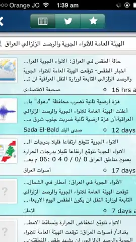
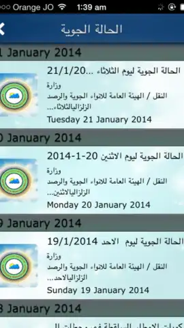
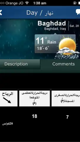
IraqWeather addresses this need directly by functioning as a dedicated meteorological and seismic monitoring hub. The application aggregates and processes data from a proprietary network of over forty monitoring stations distributed across the country. This infrastructure allows it to move beyond generic forecasts, providing analytics pertinent to both immediate daily planning and long-term project management. The interface is configured for clarity, presenting complex data sets—including atmospheric pressure trends, wind vector maps, and seismic event logs—in an accessible format. A key operational feature is its configurable alert system, which users can calibrate for specific thresholds of weather changes or seismic magnitudes, sending push notifications directly to the device.
The application's value is particularly evident in its data depth. Forecasts include parameters such as humidity gradients, visibility indexes, and particulate matter levels, which are critical for sectors like agriculture, logistics, and construction. The seismic module catalogs event history, providing timestamps, approximate epicenter locations, and magnitude readings, contributing to a broader understanding of regional geological activity. This makes it a functional tool not only for personal safety but also for economic and social planning where environmental factors are decisive.
Core Functional Specifications
- Provides real-time weather tracking and seismic activity monitoring across all Iraqi territories.
- Sources data from a dedicated network of over forty local monitoring stations for accuracy.
- Delivers detailed technical reports on atmospheric conditions and geological events.
- Features a fully customizable alert system for weather changes and earthquake warnings.
- Offers an ad-free experience with an intuitive interface for streamlined navigation.
Download mobile app now
Access the definitive source for environmental intelligence in Iraq. Install IraqWeather to base your daily decisions and long-term plans on verified, real-time data.
Heads up: you'll need wifi or a stable mobile data connection for real-time updates and seismic alerts. Some advanced historical data features and high-resolution radar imagery may require a premium subscription.


