
Old Maps
Old Maps screenshots (8)
Description Old Maps
Explore Historical Geography with Precision
Navigating the past often requires sifting through low-quality digital scans or fragmented archives. Old Maps directly addresses this by centralizing access to a vast, curated library of high-resolution historical cartography, transforming any location into a window through centuries of geographical change.
Core Functionality and Technical Specifications
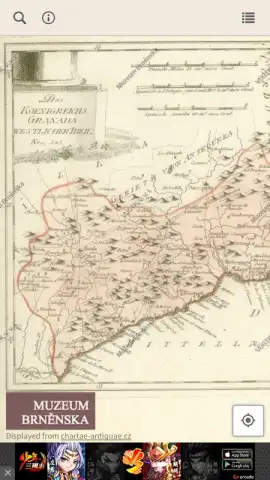
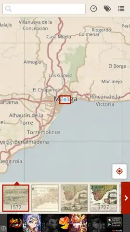
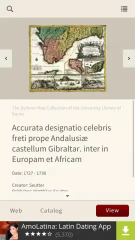
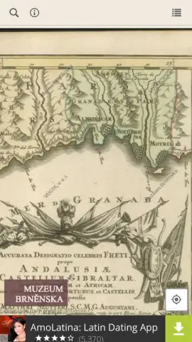
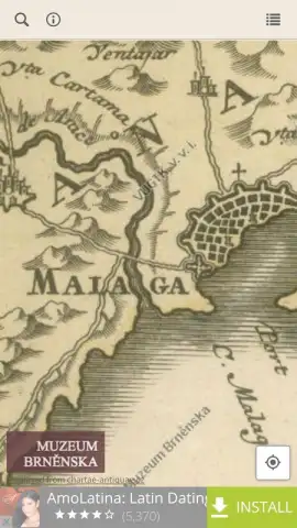
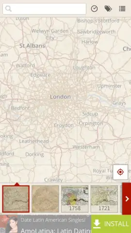
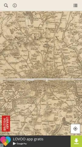
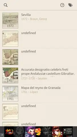
The application provides a dual-method interface for accessing over 250,000 maps dating from the 15th to the 20th century. A dedicated search field allows for direct querying by city, region, or country name. Alternatively, a freely navigable global map interface enables exploratory browsing with standard pinch-to-zoom and drag controls similar to modern mapping services. The collection is distinguished by its archival-grade image quality; maps are not simple JPG compilations but are presented in high resolution, ensuring legibility of fine details like period typography, topographic markings, and marginalia. The absence of advertising is a standard feature, supported by the application's operational model.
This tool is engineered for practical use by students, researchers, and enthusiasts of historical geography. A significant portion of the catalog consists of historically accurate sheets, making it particularly valuable for conducting comparative analysis of how a specific area, such as one's own locality, has evolved cartographically over hundreds of years. The database serves as a functional resource for cross-referencing historical data against modern geography.
- Global historical map repository
- High-resolution archival scans
- Search and browse functionality
- Ad-free user experience
- Covers 15th–20th centuries
- Local history investigation tool
Download the Old Maps app immediately to start your historical exploration!
Internet required. IAP available.


