
Periphern: Easy Map Charts
Periphern: Easy Map Charts screenshots (10)

Description Periphern: Easy Map Charts
Transform Your Data into Stunning, Interactive Map Charts in Minutes
Stop struggling with complex software. Periphern is your shortcut to creating professional, publication-ready map visualizations directly on your mobile device. Whether you're a student, marketer, analyst, or blogger, instantly turn dry spreadsheets and location data into compelling geographic stories that everyone can understand.
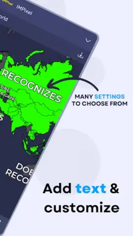
Powerful Features for Visual Storytelling
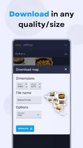
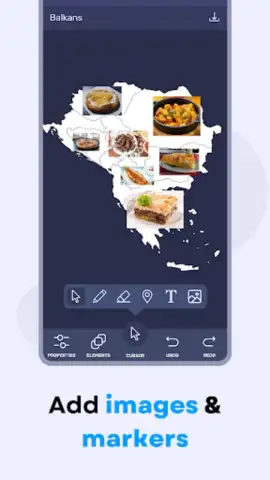
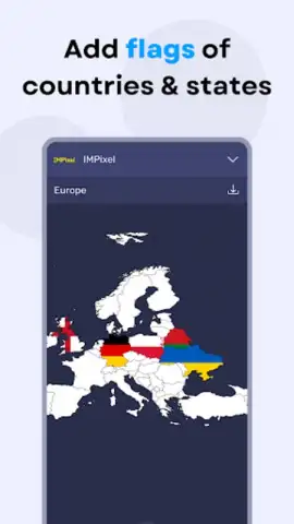
This app provides a complete toolkit for geographic data visualization. Start by importing your data from CSV files or connecting to cloud storage. The intelligent engine automatically geocodes location names, so you don't need precise coordinates. Choose from a vast array of chart styles—from classic filled regions and proportional symbol maps to advanced heat maps and animated flow lines. Customize every detail with a comprehensive style editor, adjusting color gradients, point sizes, boundary lines, and fonts to match your brand or report theme. Finally, export your creation in high-resolution PNG, JPEG, or even interactive HTML files to share with your audience.
Key Advantages That Set Periphern Apart
The core strength of Periphern is its unparalleled balance of depth and simplicity. The interface is designed for touch, with intuitive gestures for zooming, panning across your map, and selecting data points. You get desktop-grade visualization power without the steep learning curve. The app handles large datasets smoothly, rendering complex maps without lag. Visually, the output is crisp and modern, with base maps that include light, dark, satellite, and minimalist street views to make your data the star. It’s the ultimate combination of professional capability and mobile convenience.
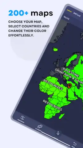
- One-Tap Import & Auto-Geocoding: Upload CSV files or paste data; the app plots locations automatically.
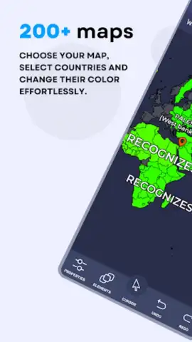
- Diverse Visualization Library: Create choropleth, bubble, heat, point, and flow maps with different styles.
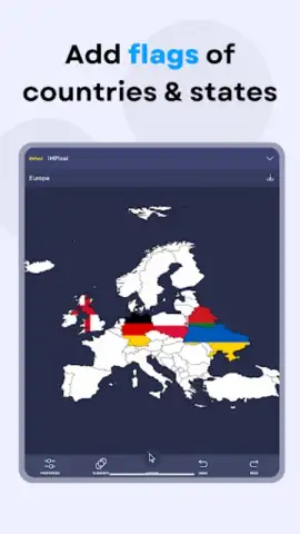
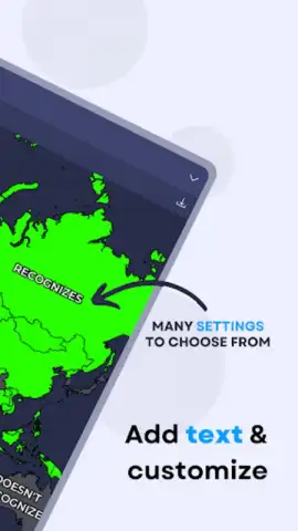
- Fully Customizable Design Studio: Control colors, gradients, legends, labels, and base map styles in detail.
- Live Preview & Instant Editing: See changes in real-time as you adjust parameters and data sets.
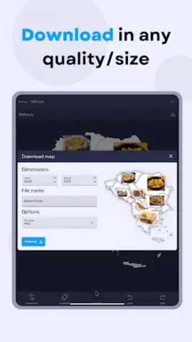
- High-Quality Export Options: Save visuals as images or interactive web files for any platform.
Download Periphern now and unlock the fastest way to make your data visually geographic. Limited-time introductory access for new users!
Heads up: you'll need wifi for initial map downloads and some cloud features. Access to premium base maps and advanced export formats is part of an optional subscription.


