GPS Road Map
GPS Road Map screenshots (7)
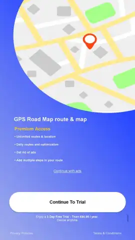
Description GPS Road Map
Navigating the Inefficiencies of Daily Travel
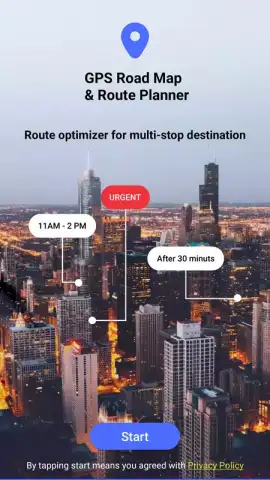
The fundamental challenge of modern navigation isn't simply getting from point A to point B; it's about consistently identifying the most efficient, context-aware path amidst variable conditions. Many mapping services provide directions but lack the integrated utility to transform a simple route into a comprehensive travel plan. GPS Road Map by Multi Tech Apps addresses this gap by functioning as a consolidated navigation hub. It processes multiple variables—transport mode, real-time location, and points of interest—to deliver a calculated route that aims to optimise time and awareness, moving beyond basic turn-by-turn instructions to become a proactive travel assistant.
Core Functionality and Analytical Depth
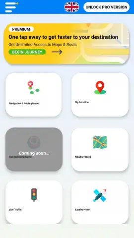
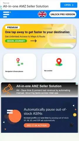
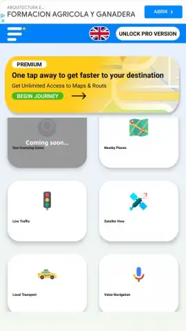
Upon granting the necessary location permissions, the application initiates its core route-planning engine. Users input two or more destinations, and the software algorithmically determines the optimal pathway. The interface then decomposes this route into a sequential, step-by-step guide. A persistent GPS lock maintains a dynamic visualisation of your current position directly on the map canvas, accompanied by a continuously updating estimated time of arrival. This real-time data layer is crucial for on-the-fly decision-making. The application's versatility is underscored by its multi-modal support, allowing for precise routing calculations tailored for walking, cycling, private vehicle use, and public transit systems, each with their respective pathfinding logic.
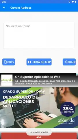
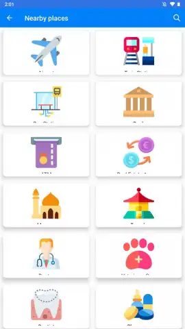
The utility extends significantly past mere transit. A deeply integrated local search function layers onto the map, revealing geotagged data for nearby commercial and civic infrastructure. This allows for immediate spatial awareness of essential services like supermarkets, medical facilities, parking structures, hotels, and restaurants directly along or near your corridor of travel. Furthermore, the platform permits the manual creation and saving of custom locations, building a personalised geographic database for frequent reference. A distinct feature for social coordination is the real-time location sharing capability, providing a secure stream of your positional data to selected contacts, which is particularly valuable for coordinating meetups or ensuring safety during solitary travel.
A Feature Breakdown of the Navigation Toolkit
- Multi-Modal Route Optimization: Calculates distinct, efficient paths for driving, walking, cycling, and public transport.
- Real-Time GPS Tracking & ETA: Provides live positional tracking on the map with a dynamically updated time-to-destination.
- Comprehensive Points of Interest (POI) Layer: Displays nearby businesses, services, and landmarks including hotels, hospitals, and parking.
- Personalised Saved Locations: Enables users to manually pin and save frequent destinations for instant future routing.
- Live Location Sharing: Facilitates the secure sharing of your real-time journey progress with friends or family members.
For users seeking to eliminate inefficient detours and gain contextual awareness during their daily commutes or explorations, this application presents a functional, all-in-one solution. Consider downloading GPS Road Map to test its integrated approach to smarter navigation.
Download the mobile app now.
Internet required. IAP available.


