
Yandex Maps
Yandex Maps screenshots (9)


Description Yandex Maps
Navigating the Modern World: A Technical Review of Yandex Maps
For users seeking a comprehensive digital mapping solution, the challenge often lies in finding an application that combines detailed local data with reliable global routing. Many platforms excel in one region but lack depth in another, or offer navigation that doesn't fully account for real-world variables like live traffic or multi-modal transit. Yandex Maps presents itself as a unified system designed to address these specific logistical gaps, providing a singular tool for both local exploration and international trip planning with a focus on operational efficiency.
Core Functionality and Feature Analysis
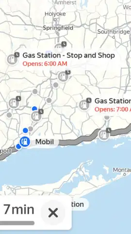
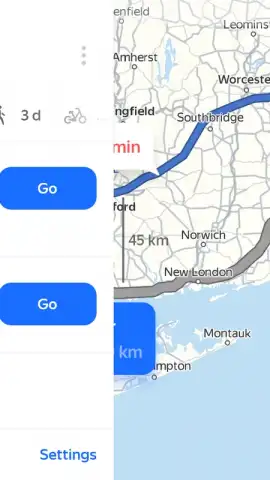
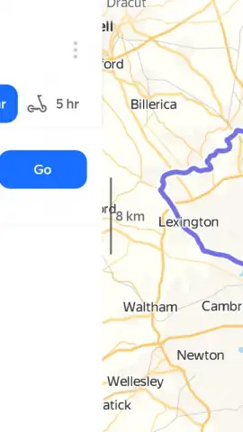
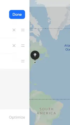
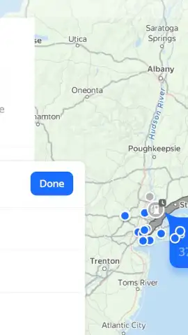
The application operates on a detailed vector-based map system, displaying geographic data for locations worldwide. Its primary navigation engine processes user-inputted destinations—which can be specific addresses, points of interest, or city names—and calculates optimal paths. The routing algorithm incorporates multiple variables, including current road speeds obtained from live user data, historical traffic patterns, and road type classifications. Users can configure route parameters to exclude toll roads, designate preferred transportation modes, or add intermediate stops, such as fuel stations or restaurants, creating a multi-point itinerary.
A distinct operational layer is dedicated to public transit. The app aggregates and displays schedules for buses, trams, metro systems, and commuter trains in supported cities. This module provides step-by-step itineraries for mixed-mode journeys, calculating walking segments to stations, transfer points, and final destinations. For personal transport, the system integrates options for car, pedestrian, bicycle, and scooter routing, adjusting its pathfinding logic for each mode's specific constraints and permitted pathways.
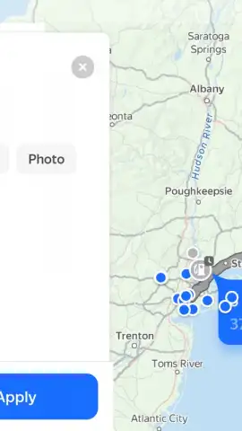
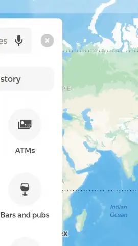
The search functionality is powered by a continuously updated points-of-interest (POI) database. Querying a location returns a detailed card containing user-submitted photographs, operational hours, contact information, and aggregated review scores. For urban navigation, a 3D city view mode renders photorealistic models of major buildings and topography, providing visual context for orientation. The application also supports real-time location sharing, allowing users to broadcast their journey progress to selected contacts via a shareable link.
Key Operational Advantages
- Real-Time Traffic-Aware Routing: Continuously adjusts driving directions using live data on road congestion, accidents, and closures to calculate the fastest available path.
- Multi-Modal Journey Planner: Integrates schedules for public transport with walking, cycling, and scooter routes to provide complete door-to-door trip planning.
- Detailed POI Database & 3D View: Offers comprehensive search results for addresses and businesses, supplemented by a three-dimensional visualization mode for major urban centers.
The application’s utility is rooted in its synthesis of diverse data streams—from live traffic feeds to static transit timetables—into a single actionable interface. Its value proposition is particularly evident in complex urban environments where the optimal route may involve switching between different forms of transportation. The depth of local POI information, including user-generated content like photos and reviews, transforms the tool from a simple navigator into a logistical hub for daily planning and exploration.
Download Yandex Maps immediately to install a comprehensive navigation system directly on your device. Access its full suite of routing and discovery tools without delay.
Internet required. IAP available.


