
All-In-One Offline Maps
All-In-One Offline Maps screenshots (18)

Description All-In-One Offline Maps
Never Get Lost Again: Your World, Mapped Offline
Imagine being deep in a national park with no signal, trying to navigate an unfamiliar city during a layover, or simply wanting to save your mobile data while traveling. The anxiety of a lost GPS connection is a thing of the past with All-In-One Offline Maps. This powerful application from Psyberia transforms your smartphone into a fully independent, global navigation device by storing detailed maps directly on your phone's internal storage. Once downloaded, your maps are available instantly, anywhere on Earth, without requiring a single byte of mobile data or a Wi-Fi connection. It’s the ultimate tool for hikers, international travelers, and anyone who ventures beyond reliable cellular coverage.
Comprehensive Mapping Power in Your Pocket
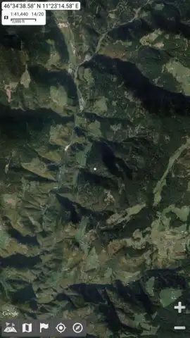
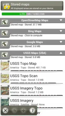
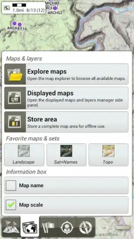
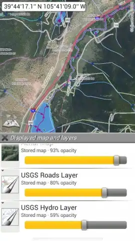
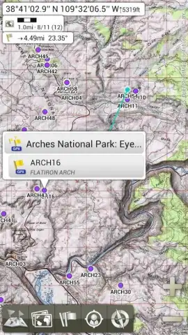
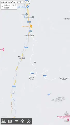
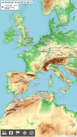
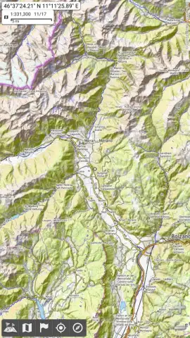
All-In-One Offline Maps is engineered for maximum flexibility and control. It sources its rich cartographic data from multiple leading providers, including OpenStreetMap, Bing Maps, Google Maps, and USGS Maps. This gives you access to a vast selection of map types and specialized layers tailored for any activity. You can switch between standard road maps for driving, detailed topographic maps for hiking, high-resolution satellite imagery for terrain verification, and even bird's-eye view perspectives for a unique vantage point. The application’s sophisticated layering system allows you to stack these different map types, adjusting the transparency of each layer to create a custom view that highlights exactly the information you need—such as overlaying a trail network on a satellite image.
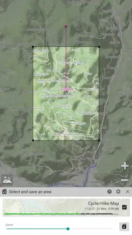
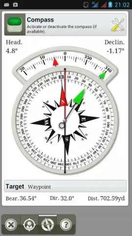
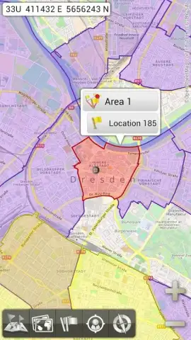
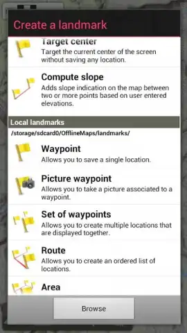
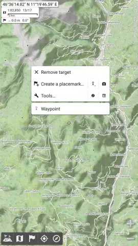
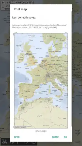
Beyond viewing, the app is packed with practical tools for planning and navigation. You can activate a persistent digital compass that locks in the top corner of your screen for constant orientation. Need to secure a specific region for an upcoming trip? Simply press and hold on the map to define and save any area. The app clearly manages your storage, with the file size logically corresponding to the selected area's size and detail level. Furthermore, All-In-One Offline Maps extends its utility beyond the screen with a built-in print function. You can generate and print any map section onto a standard A4 page, complete with an accurate scale bar printed at the bottom for reliable distance measurement during offline trip planning.
- Fully Functional Global Offline Maps
- Four Major Map Source Providers
- Customizable Multi-Layer Map Display
- Direct Print to A4 with Scale
Stop relying on spotty signals and draining your data plan. Take absolute control of your navigation in every corner of the world. Download All-In-One Offline Maps right now and explore with complete confidence!
Download the All-In-One Offline Maps mobile app now!
Heads up: you'll need wifi to initially download map regions. Some premium map sources and advanced features may require additional access.


